The scanner has been in regular use since it’s purchase and it has travelled too. It has been taken to Italy twice and Spain.
It makes no sense to scan somewhere and then re-scan it again so we have created an archive of the scans which we can share with our students on request.
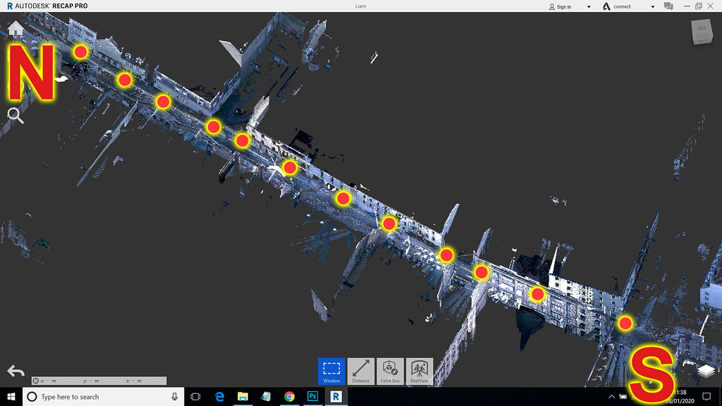
Each scan gets a ‘screen grab’ title image that shows the general survey area and where the survey points were taken.
I can let you see the catalogue of screen grabs – they are on my account on Flickr – see below (apologies for the adverts that pop up every third or fourth slide – out of my control):
Me and Flickr don’t seem to get on too well – everytime I go near it I seem to mess things up and end up duplicating the photos!
The photostream is also linked to an ARCGiS online page that shows the location of the scan on the world map.
Link Goes here!
Ultimately we would like to place a stripped out version of the scans on the ARCGiS server … like a thumbnail scan.
This part of the blog starts with a 2 part explanation of a full project from start to finish and then there’s a page of notable early scans, I will write up some of the more interesting recent ones too real soon.
